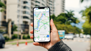
Google Maps gets new features for electric vehicle users. It will be possible to find specific information about the location of chargers and to plan charging breaks during a trip.
Google Maps will receive AI-generated summaries in the coming months that describe the specific location of a charger. For example, users may see a description like: “Enter the underground parking lot and follow the signs to the exit. Turn right just before the exit.” The information for this is taken from user reviews, Google says in a blog. Those who leave a review may also be asked for more details, such as what type of plug was used and how long someone had to wait for the charger to become available. In this way, the description given should become more accurate for future users.
Users with a native version of Google Maps built into their car will soon be able to see where the nearest charger is while driving. This information is automatically shown on the map when the battery runs out. Cars with Google Maps built-in also have more options for planning a trip. If that trip includes multiple stops, Maps will suggest the best charging stations along the way. It was already possible to see these types of suggestions when planning a trip without stops along the way.
Finally, the travel section of Google Search a special filter for electric cars. This allows users to search for hotels that have an electric car charging station on location.


